


CORWITH Voting District, Hancock County, Iowa
About
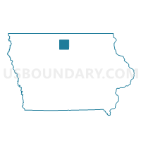
Outline

Summary
| Unique Area Identifier | 582265 |
| Name | CORWITH Voting District |
| County | Hancock County |
| State | Iowa |
| Area (square miles) | 1.48 |
| Land Area (square miles) | 1.48 |
| Water Area (square miles) | 0.00 |
| % of Land Area | 100.00 |
| % of Water Area | 0.00 |
| Latitude of the Internal Point | 42.98900030 |
| Longtitude of the Internal Point | -93.95807940 |
Maps


Graphs
Select a template below for downloading or customizing gragh for CORWITH Voting District, Hancock County, Iowa


Neighbors
Neighoring Voting District (by Name) Neighboring Voting District on the Map
- BOONE TWP W/O CORWITH Voting District, Hancock County, IA
- LU VERNE TWP W/O LU VERNE Voting District, Kossuth County, IA
- MAGOR TWP W/O CORWITH Voting District, Hancock County, IA
- PRAIRIE TWP W/O WESLEY Voting District, Kossuth County, IA
Top 10 Neighboring County Subdivision (by Population) Neighboring County Subdivision on the Map
- Magor township, Hancock County, IA (378)
- Lu Verne township, Kossuth County, IA (347)
- Prairie township, Kossuth County, IA (204)
- Boone township, Hancock County, IA (179)